
Four Pillars ofPerception.
DeepFusion AI's four core technologies enable flawless autonomous perception in snow, rain, and darkness.
Philosophy
Our Perception Philosophy
4D imaging radar is a key sensor that directly measures distance, direction, height, and velocity information, enabling stable spatial perception even in harsh weather and low-light conditions. DeepFusion AI interprets the unique characteristics of 4D imaging radar using AI to develop radar-centric spatial perception technology that connects object recognition, tracking, localization, and mapping.
4D imaging radar is a key sensor that directly measures distance, direction, height, and velocity information, enabling stable spatial perception even in harsh weather and low-light conditions. DeepFusion AI interprets the unique characteristics of 4D imaging radar using AI to develop radar-centric spatial perception technology that connects object recognition, tracking, localization, and mapping.

4 Pillars
Four Core Technologies
-
Radar-Native Perception AI
4D Imaging Radar Specialized Real-Time Object Perception

-
Radar-Centric Sensor Fusion
Radar-Centric Sensor Fusion

-
Real-time 4D Radar SLAM
4D Radar-Based Real-Time Simultaneous Localization and Mapping

-
Virtual Radar & AI Training Framework
Virtual Radar-Based Synthetic Data Generation & AI Training Framework

Pillar 01
Radar-Native Perception AI
4D Imaging Radar Specialized Real-Time Object Perception
DeepFusion AI develops radar-specialized AI technology tailored to the unique measurement characteristics of 4D imaging radar. We detect and track surrounding objects in real-time by analyzing the 3D position, distance, and velocity information. We deliver an integrated perception pipeline spanning preprocessing considering radar data sparsity and noise, AI inference, post-processing, and object tracking. Notably, the RAPA platform—enabling 360° all-round perception using multi-radar setups—was honored with the Best Innovation Award in the AI category at CES 2026.
Key Competencies
-
01
Radar-specialized AI models utilizing spatial, velocity, and signal data of 4D imaging radar
-
02
360-degree all-round environmental perception based on multi-radar configuration
-
03
Data quality enhancement through radar data preprocessing
-
04
Continuous tracking and state estimation of detected objects
-
05
Real-time perception and processing optimized for embedded systems
Pillar 02
Radar-Centric Sensor Fusion
Radar-Centric Sensor Fusion
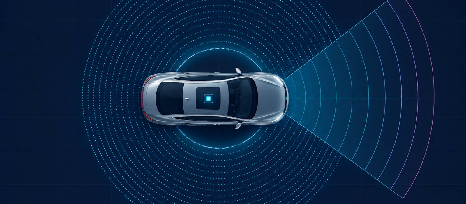
We develop multimodal 3D fusion technology that understands the surrounding environment three-dimensionally by combining information from heterogeneous sensors, centering on 4D imaging radar along with cameras and LiDAR. We unify the range and velocity from 4D imaging radar, semantic data from cameras, and precise 3D spatial structures from LiDAR in a shared coordinate space. This generates highly precise 3D environmental data that cannot be achieved with single sensors. Our expandable fusion perception model supports stable spatial awareness regardless of changes in weather, illumination, or sensor states.
Key Competencies
-
01
Sensor fusion of cameras and LiDAR centered on 4D imaging radar
-
02
Coordinate registration and time synchronization of heterogeneous sensor data
-
03
Integration of spatial and semantic information from different sensors
-
04
3D object detection and spatial map generation based on multimodal datasets
-
05
Scalable perception models adaptable to various sensor configurations and applications
Pillar 03
Real-time 4D Radar SLAM
4D Radar-Based Real-Time Simultaneous Localization and Mapping
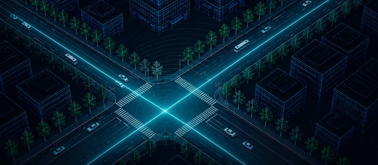
We estimate the real-time position and attitude of mobile systems while simultaneously constructing 3D maps of the surroundings using 4D imaging radar. By continuously analyzing measurement data from surrounding structures and obstacles, we estimate the system's position and trajectory. This supports stable localization and mapping in environments where GPS is restricted, such as underground parking lots, logistics facilities, and industrial complexes. Real-time 4D Radar SLAM provides vital localization inputs for systems to navigate safely and plan paths.
Key Competencies
-
01
Real-time position and attitude estimation based on 4D imaging radar
-
02
Simultaneous localization and mapping (SLAM) based on radar signals
-
03
Continuous spatial awareness of trajectories and surrounding structures
-
04
Robust localization support in GPS-denied environments
Pillar 04
Virtual Radar & AI Training Framework
Virtual Radar-Based Synthetic Data Generation & AI Training Framework
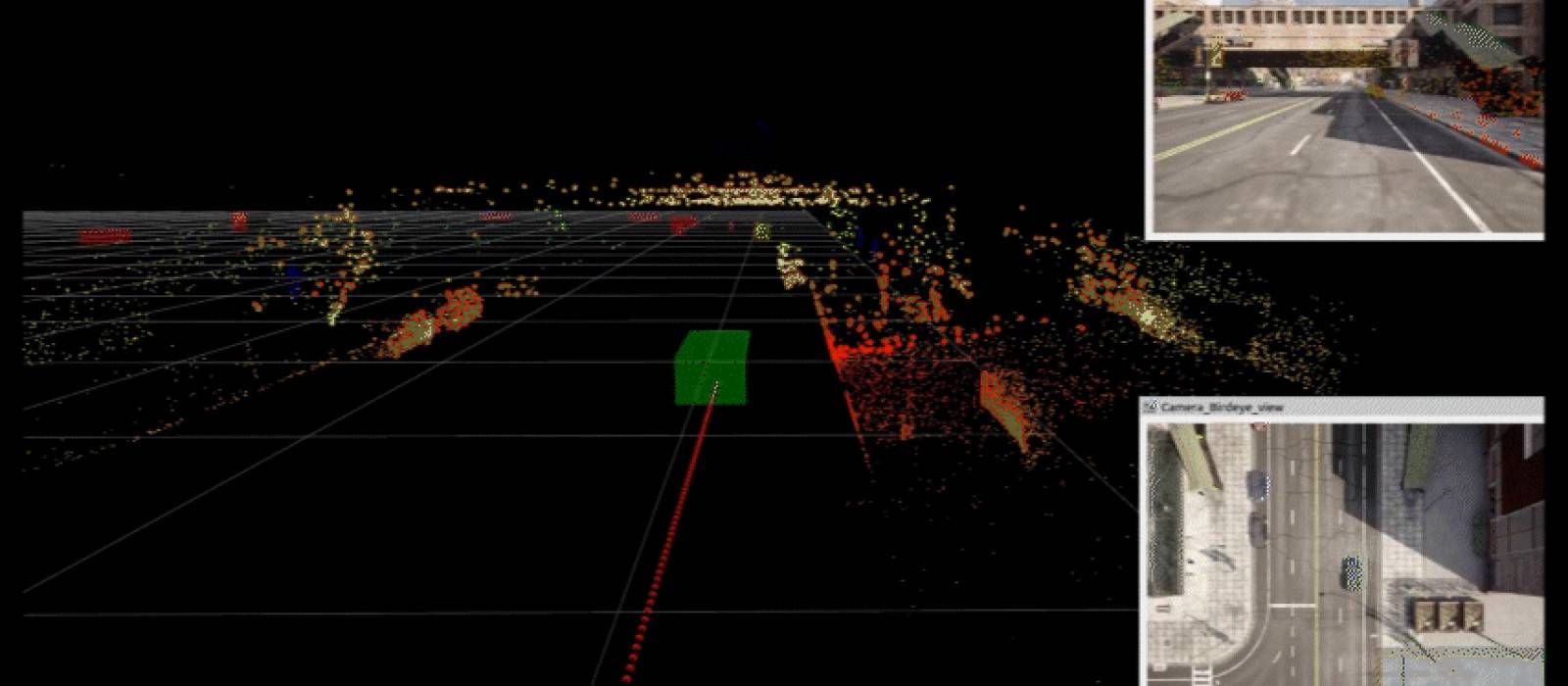
We develop an integrated training platform that generates synthetic datasets within virtual sensor environments reflecting 4D imaging radar characteristics, utilizing them for AI model pretraining and development. We efficiently acquire training datasets by simulating diverse objects and operational conditions in virtual environments that are costly or difficult to collect in the real world. Models pretrained on synthetic data can be fine-tuned and optimized for real-world sensor data. Furthermore, we streamline actual data labeling and verification processes using auto-labeling based on pretrained models, supporting the end-to-end AI development pipeline from data building to model training and site optimization.
Key Competencies
-
01
Virtual radar sensor environment simulating 4D imaging radar characteristics
-
02
Synthetic dataset generation reflecting various objects and operating conditions
-
03
AI model pretraining utilizing synthetic data
-
04
Auto-labeling and data creation efficiency based on pretrained models
-
05
Transfer learning and optimization support customized to customer sensor setups and target domains
Scalability
Technology Scalability
-
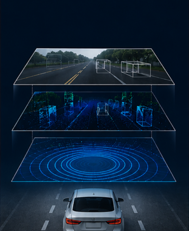
Diverse Sensor Configurations
Flexible setups ranging from standalone 4D imaging radar perception to early multimodal sensor fusion with cameras and LiDAR.
-

Various Operating Environments
Guaranteed reliable perception under harsh weather, extreme low light, GPS-denied zones, and dusty/smoky industrial facilities.
-
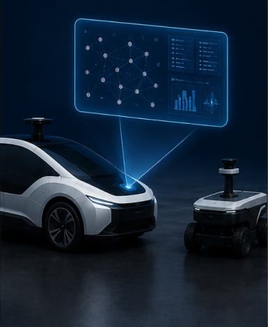
Real-Time Edge Deployment
Optimized inference pipelines running directly on onboard embedded modules without heavy GPU server hardware.
-
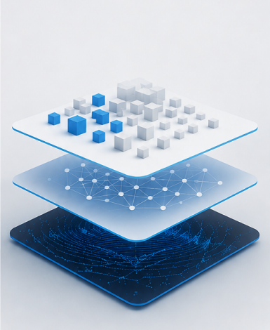
Data & Model Expansion
Rapid model adaptation to new layouts and operating fields leveraging synthetic datasets and auto-labeling workflows.
Validation
Proven Track Record
-
01
Military Validation
Proven track record of driving validation on active army combat vehicles
-
02
All-Weather Marine Verification
1,000+ hours of cumulative wave measurements under coastal sea fog and rainstorms
-
03
Patents & IP Portfolio
3 registered/filed patents regarding radar signal processing and deep learning fusion